The Lost City at a glance
| Fact | Details |
|---|---|
| Names | Ciudad Perdida, the Lost City, Teyuna (written Tezhuna by Kogi authorities) and Buritaca-200 |
| Location | Northern slope of the Sierra Nevada de Santa Marta, upper Buritaca River valley, Santa Marta district (Magdalena), Colombia |
| Elevation | 900–1,300 m (about 2,950–4,265 ft) |
| Age | Built around AD 700–800, roughly 650 years before Machu Picchu |
| What you’ll see | 169 stone terraces, paved paths, water channels and a staircase of about 1,200 steps |
| Access | On foot only, from the village of El Mamey (Machete Pelao), 2.5–3 hours by 4×4 from Santa Marta |
| Trek distance | About 50–60 km (31–37 miles) round trip, over 3, 4 or 5 days |
| Entrance fee | 75,000 COP per person (ICANH rate), included in tour prices |
| Site opening hours | 7:00 a.m. to 3:00 p.m. |
| Annual closure | For Indigenous ceremonies; in 2026 it ran from October 1 to 15 |
| Managed by | ICANH (Instituto Colombiano de Antropología e Historia) |
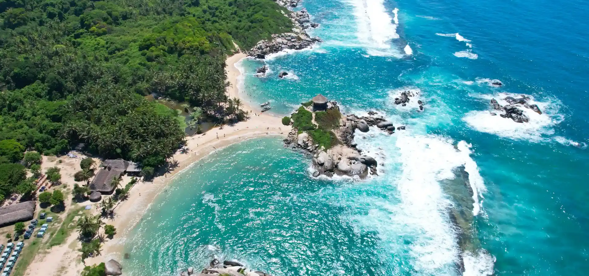
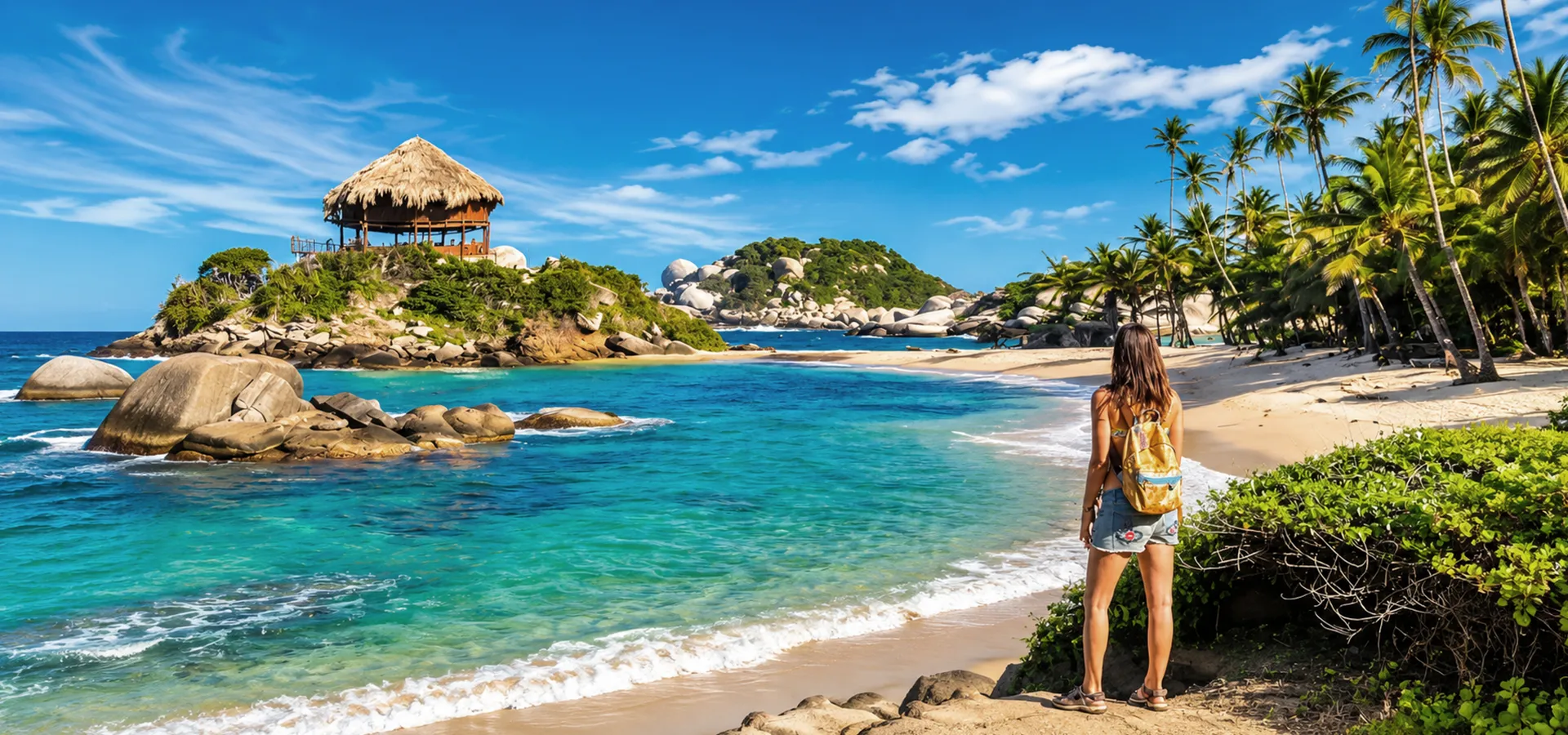
Don’t mix it up: the Lost City is not inside Tayrona National Park. They’re two different places near Santa Marta: Tayrona National Park is the coastal park with the palm-fringed beaches, while Teyuna lies deep in the Sierra Nevada mountains, a day and a half to two days’ walk from the trailhead. The confusion comes from the shared name of the Tayrona culture.
What is the Lost City (Teyuna)?
Teyuna is believed to have been the heart of a network of Tayrona villages spread across the Sierra Nevada de Santa Marta, and its main political, economic and ceremonial center. It was built along a mountain ridge above the right bank of the Buritaca River and, at its peak, may have been home to somewhere between 2,000 and 8,000 people. To put it in context, the archaeologists who reached Teyuna in 1976 had already recorded around 200 ancient settlements across roughly 1,800 km² (about 695 square miles) of the Sierra.
“Lost City” is the name the world gave it after its rediscovery. For the Kogi, Wiwa, Arhuaco and Kankuamo peoples, who see themselves as descendants of the Tayrona, it was never lost at all: they knew it was there, kept visiting it and stayed quiet to protect it. In the archaeological record of the Sierra, it is listed as Buritaca-200.
Who were the Tayrona?
“Tayrona” (often spelled Tairona in English) is the name Spanish chroniclers gave to the peoples living in the Sierra Nevada and along its coast when Europeans arrived. They were farmers and goldsmiths with a remarkable command of stone: their villages were linked by paved stone paths, and they built their homes — round, windowless huts of thatch and wattle-and-daub — on top of stone terraces. After years of trade and conflict with the Spanish, the people of Teyuna abandoned the city sometime between the 16th and 17th centuries, and the jungle swallowed it.
Terraces, paths and water channels
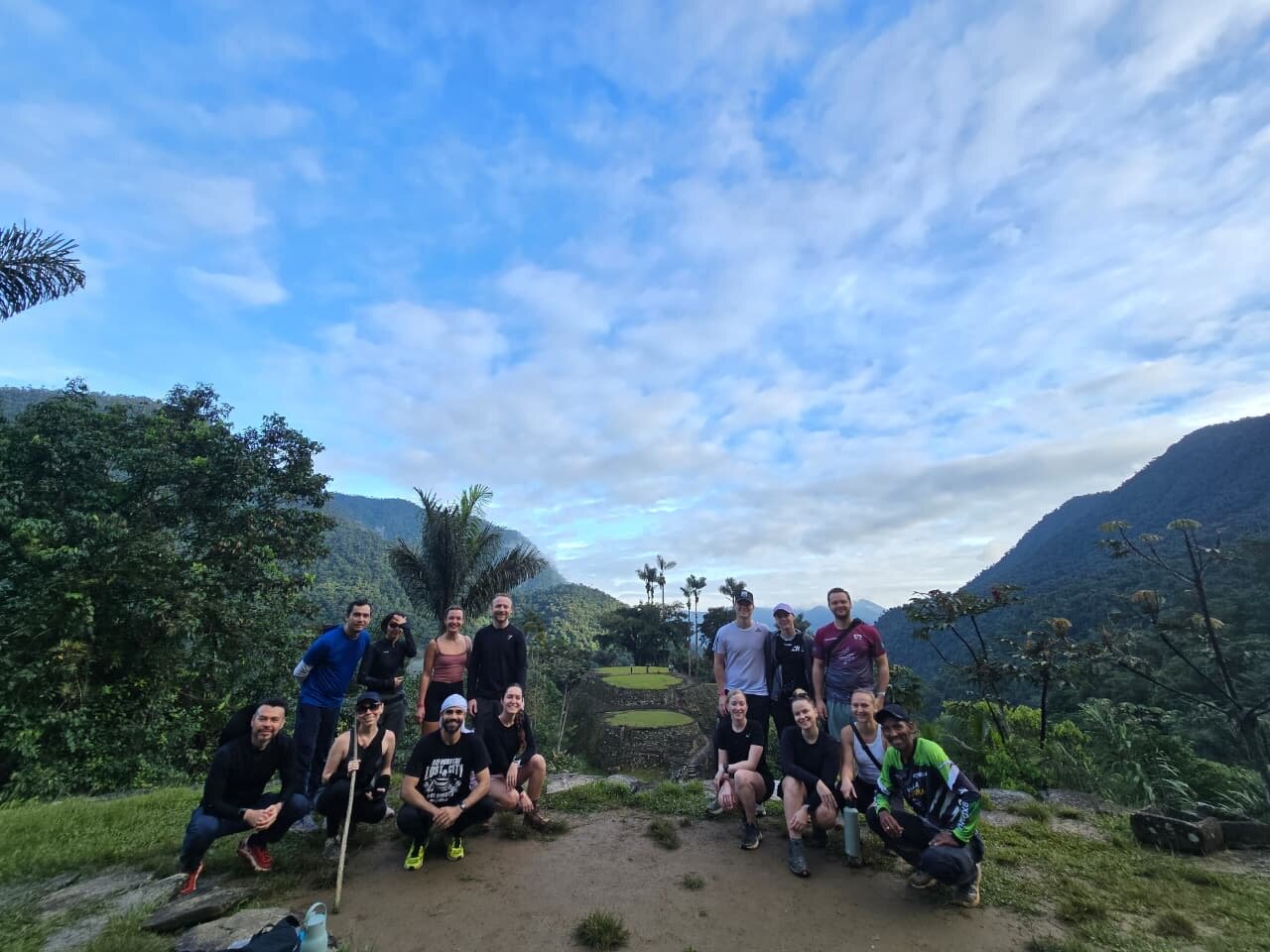
What you walk through today are the city’s stone foundations: 169 terraces stepping down the ridge, small circular plazas, stairways and paths connecting them, and a network of channels that carried rainwater through the settlement, while the terraces helped keep the soil fertile. The houses and temples were made of plant materials and have long since disappeared; the stonework is what survived.
Look out for the petroglyphs, including the Piedra de Donama, whose carvings have been read in many different ways, and a carved boulder believed to be a map of the city and the paths that linked it to other villages.

Lost City history: how it was rediscovered (1972–1976)
Looters and the “Green Hell”
In the early 1970s, a family of guaqueros (grave robbers), the Sepúlvedas, stumbled on a stone staircase while hunting in the Buritaca valley. Sources disagree on the exact year — 1972, 1973 and 1975 are all cited — but not on what happened next: tombs were looted, gold and ceramic pieces surfaced on the black market and violence broke out among rival looters. The guaqueros themselves nicknamed the place Infierno Verde, the “Green Hell.”
The 1976 expedition
News of a large archaeological complex in the upper Buritaca reached what was then the Colombian Institute of Anthropology (ICAN), which sent an expedition led by archaeologists Luisa Fernanda Herrera and Gilberto Cadavid, who had been surveying the Sierra since 1973. From 1976 the institute ran a research, conservation and restoration project in several phases over a decade. ICANH has managed and protected the Teyuna – Ciudad Perdida Archaeological Park ever since.
Teyuna today: heritage site and sacred land
The Lost City lies within Sierra Nevada de Santa Marta National Natural Park, created in 1964, and within the biosphere reserve that UNESCO recognized in 1979. In 2022, UNESCO added the Ancestral System of Knowledge of the Four Indigenous Peoples — Arhuaco, Kankuamo, Kogi and Wiwa — of the Sierra Nevada de Santa Marta to its Representative List of the Intangible Cultural Heritage of Humanity. That’s why Teyuna is more than an archaeological site: it’s a living place where mamos, the spiritual leaders, still hold ceremonies.

7 fascinating facts about the Lost City
- It’s older than Machu Picchu — by roughly 650 years.
- You earn the view on 1,200 steps. The stone staircase climbing up from the river is original, and it’s the trek’s last big push.
- The stone was only the base. Round thatched huts once stood on every terrace; only the platforms remain.
- It has a catalog number. “Buritaca-200” comes from the numbering of archaeological sites in the Buritaca basin.
- Its looters called it “Green Hell” because of the punishing jungle around it.
- There’s a map carved in stone. A boulder with engravings is believed to depict the city and its paths.
- It closes every year to let the Earth rest. Indigenous authorities request a closure “to give Mother Nature a rest” and carry out spiritual work.
Where is the Lost City, and how do you get there?
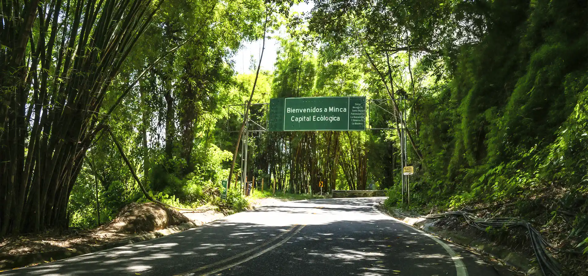
The Lost City sits on the northern slope of the Sierra Nevada de Santa Marta, in the upper Buritaca River valley, within the district of Santa Marta in Colombia’s Magdalena department. The Sierra is a mountain range separate from the Andes, covering about 16,500 km² (6,370 square miles), that rises from the Caribbean to the snowy Colón and Bolívar peaks, at around 5,700 m (18,700 ft), in just 38 km (24 miles) — one of the highest coastal mountain ranges on Earth.
Your base is the city of Santa Marta, which you can reach on a domestic flight from Bogotá or Medellín. From there, your operator picks you up and drives you by 4×4 along the Caribbean coastal highway and then a dirt road to El Mamey, also known as Machete Pelao, where the hike begins — about 2.5 to 3 hours in total. Vehicles can’t reach the ruins, and there’s no legal way to hike on your own. We walk you through every leg, including getting to Santa Marta from Bogotá, Medellín or Cali, in our guide on how to get to the Lost City.
What the Lost City trek is really like
Distance, hiking hours and difficulty
The full route covers roughly 50–60 km (31–37 miles) round trip, depending on the trail variant and camps (Lonely Planet puts it at 60 km; our own itinerary counts about 30 km, or 19 miles, each way from El Mamey). Expect 6–8 hours of hiking a day, with constant climbs and descents, heat, humidity and mud — especially in the rainy season — and then roughly 1,200 stone steps up to the terraces.
Difficulty is moderate to challenging. You don’t need technical skills, but you do need decent fitness and the stamina for several back-to-back days on muddy, humid trails; regular hikers will enjoy it most. Expotur accepts travelers over 12 who are in good health and have no medical restrictions.
Rivers, camps and life on the trail
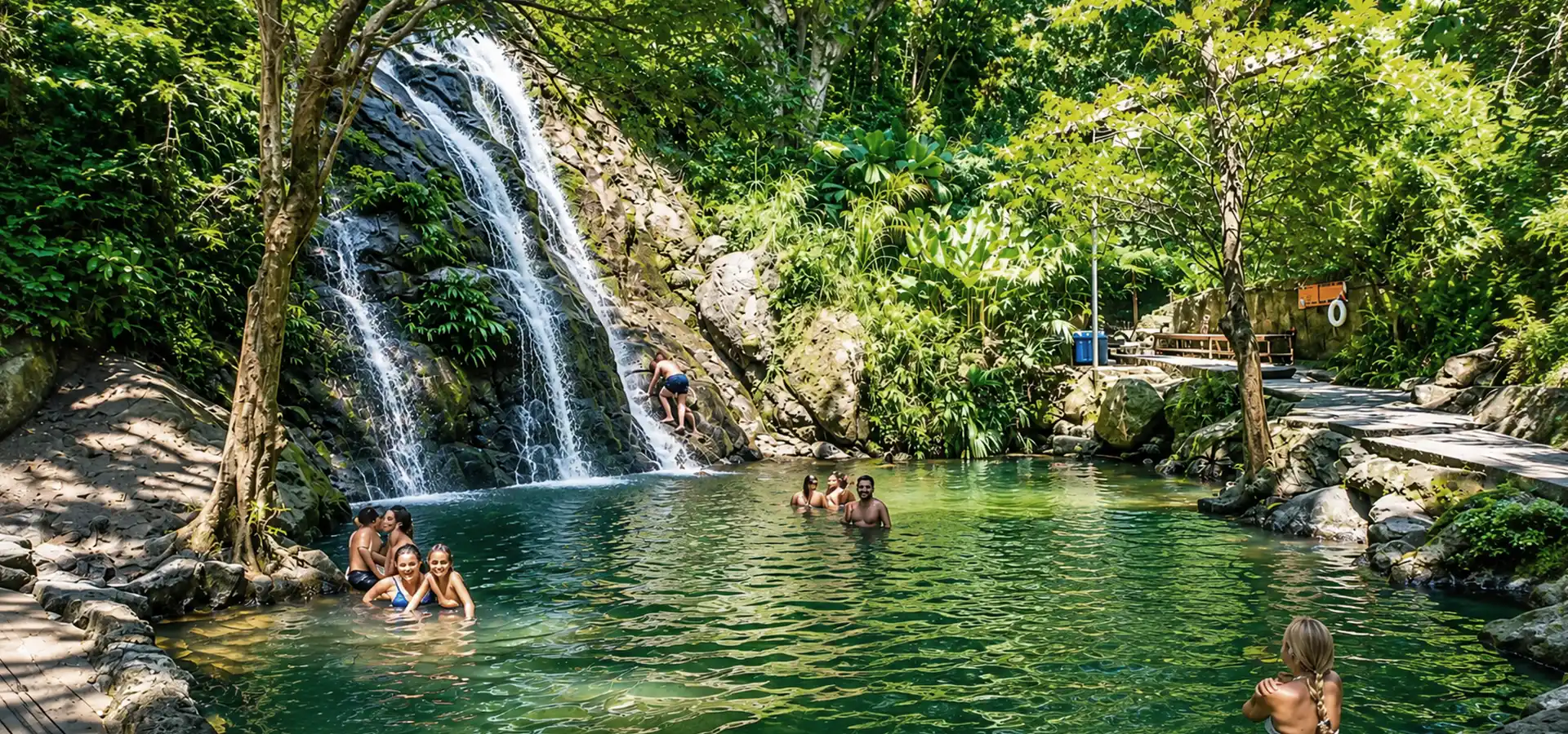
The trail follows the Buritaca River valley and crosses it several times; after heavy rain the water rises and guides decide when and where it’s safe to cross. The upside: there are natural swimming holes almost every day. Nights are spent in camps built by local families — Adán, Mumake, Paso Lorenzo and Zhulezhi among them — with bunk beds or hammocks, blankets and mosquito nets, shared bathrooms and showers, and limited electricity from solar panels or generators. There’s no cell signal, so let people at home know you’ll be offline. Many groups hike with a local Spanish-speaking guide plus an English-speaking translator; check when you book.
Zhulezhi is Expotur’s own camp and one of the closest to the Teyuna staircase. It guarantees our hikers a bed, lets you climb to the ruins early without your pack, and has a small display of archaeological finds from the area.
3, 4 or 5 days? How to choose
The ruins are the same on every trip; what changes is the pace. Here are the three treks Expotur runs (prices as published in November 2026, in Colombian pesos — your card converts at the day’s rate; some operators also sell 6-day versions):
| Trek | Pace | Best for | What sets it apart | From |
|---|---|---|---|---|
| Lost City Trek 3 Days | 7–8 hours of hiking a day | Very fit hikers short on time | 4:30 a.m. pickup and a motorbike transfer on day one | 2,200,000 COP |
| Lost City Trek Colombia 4 Days | 6–8 hours a day | Most travelers — it’s the classic itinerary | The best balance of effort, time and enjoyment | 1,860,000 COP |
| Lost City Tour Colombia 5 Days | More relaxed | Anyone who wants to take it slower, including older travelers | Adds the Waterfalls Route: Pablo, Abanico and La Negra falls | 2,150,000 COP |
All three include 4×4 transport from Santa Marta, a professional guide, meals cooked by the team’s chefs, camp accommodation, travel insurance, a contribution to Indigenous and farming communities and the Teyuna Archaeological Park entrance fee. You secure your spot with a 7% deposit.
Here’s how the 4-day trek breaks down:
- Day 1: 4×4 from Santa Marta to El Mamey, then about 10 km (6 miles) through farmland to Camp Adán.
- Day 2: around 18 km (11 miles) of jungle, passing the Kogi village of Mutanzhi, to Zhulezhi.
- Day 3: along the Buritaca, up the 1,200 steps and about three hours exploring Teyuna with your guide; back down to Mumake.
- Day 4: about 18 km (11 miles) back to El Mamey, lunch and the drive to Santa Marta.
Ready to hike to Teyuna? Our Lost City Trek Colombia 4 Days is the trip we recommend to most travelers: daily departures from Santa Marta, certified guides, a guaranteed bed at Zhulezhi and everything included.
Best time to visit the Lost City, and the annual closure
Dry season vs. rainy season
The trek runs year-round except during the annual closure. The dry season, from late December to early March, is the most comfortable: less mud, lower rivers and fewer mosquitoes. From April to November, rain is more frequent and afternoon downpours are common above 500 m (1,640 ft), which is why hiking days start early. It’s hot and humid, around 20–32 °C (68–90 °F) by day, dropping to about 16 °C (61 °F) at night.
Demand has seasons too: Google searches for “ciudad perdida” in Colombia climb to around 9,900 a month in January, versus 5,400 in June or October. If you’re traveling over December–January or Easter week, book ahead.
The annual closure for Indigenous ceremonies
Every year, at the request of the Kogi traditional authorities of Magdalena (the Muñkuawinmaku association of the Kogi-Malayo-Arhuaco reservation), ICANH closes the site to visitors so the mamos can carry out spiritual work and “give Mother Nature a rest.” During the closure, only Indigenous authorities and authorized staff may enter. For years it fell in September, but the dates move — and since 2025 it has shifted to October:
| Year | Lost City closure | ICANH resolution |
|---|---|---|
| 2022 | September 1–17 | Resolution 1087 of 2022 |
| 2023 | September 1–16 | Resolution 1079 of 2023 |
| 2024 | September 15–30 | Resolution 1260 of 2024 (changed the planned September 1–30) |
| 2025 | October 1–31 | Resolution 0982 of 2025 |
| 2026 | October 1–15 (reopened October 16) | Resolution 1610 of 2026 (shortened the planned October 1–31) |
| 2027 | To be confirmed | ICANH usually sets the second-half calendar in late July |
Our advice: if you’re planning a trip for September or October 2027, wait for the official announcement before booking flights, or keep your dates flexible. We explain the reasons behind the pause, and update the dates every year, on our Lost City closure dates page.
Permits, entrance fee and authorized operators
You can’t visit the Lost City independently. Access is only possible with an authorized tour operator and local guides, and the rules now make that explicit: under Resolution 1703 and a circular issued on December 22, 2025, ICANH sells entry tickets only to tour operators and tourism providers with a valid National Tourism Registry (RNT) number and prior authorization from its General Secretariat. The fee is 75,000 COP per person and it’s built into your tour price.
Teyuna lies within Sierra Nevada de Santa Marta National Natural Park and the territory of the Kogi-Malayo-Arhuaco Indigenous reservation, so ICANH, Colombia’s National Parks service and Indigenous authorities all have a say in how the trail is run — and any of them can suspend access for cultural, environmental or security reasons.
How many operators are there? ICANH doesn’t publish a fixed list, and recent travel guides mention between four and seven Santa Marta–based companies; Expotur is one of them. Before you pay, check:
- That the company has a valid RNT number (ask for it).
- That the price includes the park fee, a certified local guide, meals, accommodation, transport and insurance.
- Which camp you’ll sleep in the night before the ruins, and whether it’s a bed or a hammock.
- Whether your group has an English-speaking translator, if you don’t speak Spanish.
- The change, cancellation and rescheduling policy for bad weather or security issues.
For a deeper checklist, read how to choose a Lost City tour operator.
The Kogi, Wiwa, Arhuaco and Kankuamo: the peoples of the Sierra
The Sierra Nevada is the ancestral land of four Indigenous peoples: the Kogi (Kogui in Spanish), Wiwa, Arhuaco and Kankuamo. They share the Law of Origin, a body of sacred mandates that governs how people relate to nature and the universe. It shows up in the care of sacred sites, in baptism and marriage rites, in traditional songs and dances, and in offerings to spiritual powers known as pagamentos. The mamos are the keepers of that knowledge. On the trek you’ll cross Kogi and Wiwa land and pass villages such as Mutanzhi, with its round thatched huts; Wiwa people are often recognizable by their white cotton clothing and rubber boots.
The Elder Brothers’ warning
The Kogi call themselves the “Elder Brothers” and consider the Sierra the heart of the world. From there, they warn the “Younger Brothers” — the rest of us — that destroying nature breaks a balance we all depend on. British viewers may know the message from Alan Ereira’s BBC documentary From the Heart of the World: The Elder Brothers’ Warning (1990) and its sequel, Aluna (2012). Keeping it in mind changes how you walk through the Sierra: you’re not touring a museum, you’re crossing land its owners still look after.
How to visit respectfully
- Ask before photographing any Indigenous person, and accept a no.
- Don’t enter huts or homes, and don’t take stones or objects from the trail or the ruins.
- Stay with your group and on the trail, and follow your guide’s instructions about where you can walk in ceremonial areas.
- Skip single-use plastic and pack out your trash or use the camps’ recycling points.
- Respect the silence: many Indigenous people are reserved around visitors, and it’s part of how they protect their culture.
To learn more about their history and worldview, read our guide to the Indigenous peoples of the Sierra Nevada de Santa Marta.
Nature along the trail
Between El Mamey and Teyuna the landscape shifts from pasture and small farms to humid tropical rainforest. Monkeys, tropical birds, butterflies, frogs, orchids and huge old trees are common sightings, along with crystal-clear rivers and swimming holes that take the edge off the heat. Find out what to look for in our guide to wildlife on the Lost City trail.
What to pack for the Lost City: the essentials
You’ll carry your own bag for several days, so pack light and smart:
- A small or medium backpack with a rain cover.
- Broken-in hiking boots or trail shoes with good grip, plus sandals for camp.
- Light, quick-dry hiking clothes and one dry long-sleeved set for the evenings.
- Four pairs of socks, a swimsuit and a towel.
- Insect repellent and sunscreen, ideally biodegradable.
- A flashlight or headlamp, personal medication and two dry bags to keep wet clothes apart.
- A 1.5-liter (about 50 oz) bottle for day one; camps refill it with drinking water.
- Cash in Colombian pesos for snacks and drinks, and a photocopy of your passport.
Expotur recommends a yellow fever vaccination as a precaution — check with your travel clinic — and travel insurance that covers trekking. The full list, with packing tips, is in what to bring to the Lost City.
Is the Lost City safe to visit?
With an authorized operator, the trek runs normally most of the year. The area does have a difficult past — in September 2003 the ELN guerrilla group kidnapped eight foreign hikers on the trail, and the trek reopened in 2005 — and today the factor that matters most is regional public order. From September 22 to 25, 2026, for example, an armed strike by the Autodefensas Conquistadoras de la Sierra Nevada (ACSN) hit Santa Marta and the Caribbean coastal highway and led Colombia’s National Parks service to suspend its field activities in the Sierra. The Lost City trail did not close because of the strike; its only pause was ICANH’s annual closure from October 1 to 15. The Magdalena department, home to Santa Marta and Teyuna, is not among the Level 4 (“Do Not Travel”) areas in the U.S. travel advisory, which keeps Colombia at Level 3.
That’s why we recommend booking with an operator that monitors conditions daily and keeps you informed, buying travel insurance and checking your government’s advice for Colombia (the U.S. State Department or the UK Foreign Office, for example) before you go. We cover it in depth, with sources and up-to-date tips, in Is it safe to travel to Santa Marta and the Lost City?
Lost City vs. Machu Picchu
They’re two of South America’s great pre-Columbian cities, but the experience could hardly be more different:
- Age: Teyuna (around AD 700–800) predates Machu Picchu (15th century) by roughly 650 years.
- Setting and elevation: tropical rainforest at around 1,200 m (3,940 ft) versus Andean peaks at around 2,430 m (7,970 ft).
- Access: you can reach Machu Picchu by train and bus in a day; the Lost City is reachable only on foot, over 3 to 5 days.
- Crowds: Machu Picchu has been a World Heritage Site since 1983 and draws huge international crowds; at Teyuna you arrive in small groups and the experience is far more intimate.
We compare them side by side in Machu Picchu vs. Colombia’s Lost City.
Lost City FAQs
What is the Lost City in Colombia?
The Lost City, or Ciudad Perdida, is Teyuna: the ancient urban and ceremonial center of the Tayrona people, built around AD 700–800 in Colombia’s Sierra Nevada de Santa Marta. It has 169 stone terraces linked by paths and stairways, is managed by the Colombian Institute of Anthropology and History (ICANH) and remains sacred to the Kogi, Wiwa, Arhuaco and Kankuamo peoples.
Is the Lost City in Tayrona National Park?
No. The Lost City sits in the Sierra Nevada de Santa Marta mountains, in the upper Buritaca River valley, within the Santa Marta district. Tayrona National Park is the coastal park with the beaches. People mix them up because both are named after the Tayrona culture.
How long is the Lost City trek, and how hard is it?
About 50–60 km (31–37 miles) round trip, usually over four days (three to five with Expotur), with 6–8 hours of hiking a day and roughly 1,200 stone steps at the end. It’s moderate to challenging because of the heat, humidity, mud and river crossings, but no technical skills are needed.
Can you do the Lost City trek without a guide?
No. Access is only possible with an authorized tour operator and local guides. Since December 2025, ICANH sells entry tickets only to tour operators with a valid National Tourism Registry (RNT) number and prior authorization from the institute.
How much does it cost to enter the Lost City?
The ICANH entrance fee is 75,000 Colombian pesos (COP) per person, but you can’t buy it on your own: tickets are sold only to authorized operators and the fee is included in your tour. With Expotur, the all-inclusive 4-day trek starts at 1,860,000 COP (November 2026 price).
When is the Lost City closed?
Once a year, for two to four weeks, so Indigenous authorities can carry out spiritual work and let Mother Earth rest. Through 2024 the closure fell in September; in 2025 it covered all of October, and in 2026 it ran from October 1 to 15. Dates for 2027 haven’t been announced yet.
Is the Lost City older than Machu Picchu?
Yes. Teyuna was built around AD 700–800, roughly 650 years before the Inca built Machu Picchu in the 15th century.
Is it safe to visit the Lost City?
With an authorized operator, the trek runs normally most of the year. The main risk today is regional public order: from September 22 to 25, 2026, an armed strike around Santa Marta led National Parks to suspend field activities in the Sierra, although the Lost City trail itself did not close. Book with an operator that monitors conditions and reschedules, buy travel insurance and check your government’s travel advice.
Sources
- ICANH. Parque Arqueológico Teyuna (location, discovery, Herrera and Cadavid expedition, project from 1976). In Spanish.
- ICANH. Teyuna opening hours and fees (7 a.m.–3 p.m.; single fee of 75,000 COP). Accessed November 20, 2026.
- ICANH. Teyuna – Ciudad Perdida reopens to the public on October 16, 2026 (Resolution 1610 of 2026).
- ICANH. Resolution 0982 of 2025 (closure October 1–31, 2025).
- ICANH. Resolution 1260 of 2024 (closure September 15–30, 2024).
- ICANH. Resolution 1079 of 2023 and Resolution 1087 of 2022 (September closures in 2023 and 2022).
- ICANH. Circular 2025180000000204 of December 22, 2025 and Resolution 1703 of 2025 (tickets sold only to operators with RNT and authorization).
- ProColombia. Ciudad Perdida: an ancestral journey through the Sierra Nevada de Santa Marta (built around AD 700, architecture, channels, Piedra de Donama). In Spanish.
- National Geographic. Tales of ancient treasures lured looters to Colombia’s ‘Lost City’ (2019).
- Wikipedia. Ciudad Perdida (169 terraces, 1,200 steps, estimated population, history of the conflict).
- UNESCO. Ancestral System of Knowledge of the four Indigenous peoples of the Sierra Nevada de Santa Marta (inscribed 2022).
- UNESCO. Sierra Nevada de Santa Marta Biosphere Reserve (1979).
- Colombian Ministry of Foreign Affairs. UNESCO recognition of the ancestral knowledge system (national park since 1964). In Spanish.
- Lonely Planet. Hiking the Lost City (Ciudad Perdida), Colombia (distance, seasons, mention of Expotur).
- Tairona Heritage Trust. From the Heart of the World: The Elder Brothers’ Warning (Alan Ereira, BBC, 1990).
- Infobae. Santa Marta after the armed-strike announcement (September 23, 2026) and Vanguardia, activities suspended in the Sierra Nevada de Santa Marta (September 25, 2026). In Spanish.
- U.S. Department of State. Colombia Travel Advisory (Level 3; Magdalena is not among the Level 4 areas).
- UNESCO. Historic Sanctuary of Machu Picchu (World Heritage Site since 1983).
- Expotur. Itineraries, prices and inclusions published on the 3-, 4- and 5-day trek pages at expotur-eco.com (accessed November 20, 2026). Search demand: Google Ads Keyword Planner (Colombia, November 2025–October 2026).
Written by the Expotur team in Santa Marta. Last updated: November 20, 2026. Prices and closure dates are reviewed every season.